Top Wellesley Neighborhoods for Boston Commuters
March 5, 2026
March 5, 2026
What if your Boston commute could be predictable while you enjoy a calm, suburban lifestyle? If you are eyeing Wellesley, you likely want reliable rail or highway access without giving up neighborhood charm, green space, and strong local schools. This guide breaks down the best Wellesley neighborhoods for Boston commuters, with clear pros and cons by commute style, quick comparisons, and a practical checklist to test before you buy. Let’s dive in.
Wellesley gives you three MBTA Commuter Rail stops on the Framingham/Worcester line: Wellesley Square, Wellesley Hills, and Wellesley Farms. These are your primary links to South Station and Back Bay. Typical scheduled train times are often about 30 to 40 minutes depending on the train, and your door-to-desk time will vary based on how you reach the platform and your last mile downtown. For station details and local parking context, see the overview of MBTA commuter rail stations in Wellesley.
If you prefer to drive, the key corridors are Route 9 for east–west surface access and I‑95/Route 128 for regional north–south travel. Some commuters also use the Massachusetts Turnpike via nearby interchanges. Off-peak drives to central Boston or Cambridge can run about 25 to 40 minutes, while peak windows often stretch to 40 to 60 minutes or more depending on traffic and incidents. These patterns are consistent with regional summaries for Wellesley and its major roadways.
Parking and permits matter here. The Town manages commuter and business lots, and runs an annual permit program for all‑day parking near the stations. The Town notes that purchasing a permit does not guarantee a specific space, so it pays to plan ahead and understand lot rules. Review current rules and lots on the Town’s Parking Lots and Rates page and the permit reminder in this Town news update.
Below, you will find Wellesley neighborhoods grouped by how you get to Boston most days. Each has its own rhythm. Your best fit depends on whether you value a short walk to the train, easy park‑and‑ride, or direct highway access.
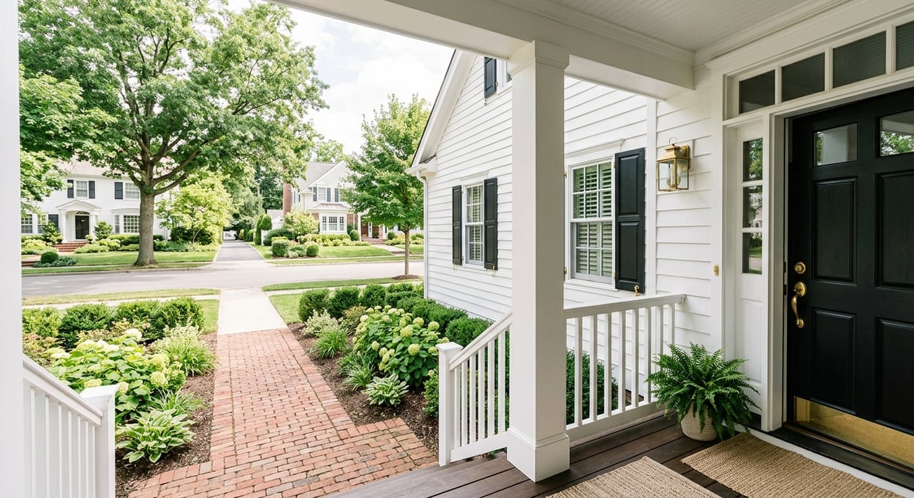
If you want a rail‑first lifestyle with walkable amenities, start here. Many streets sit within a 5 to 15 minute walk of Wellesley Square station, and the nearby Tailby lot supports park‑and‑ride days when you prefer to drive to the platform. You are also steps from Linden Square shops, restaurants, groceries, and Wellesley College resources. Get a feel for the area’s walkability with this Wellesley Square neighborhood overview.
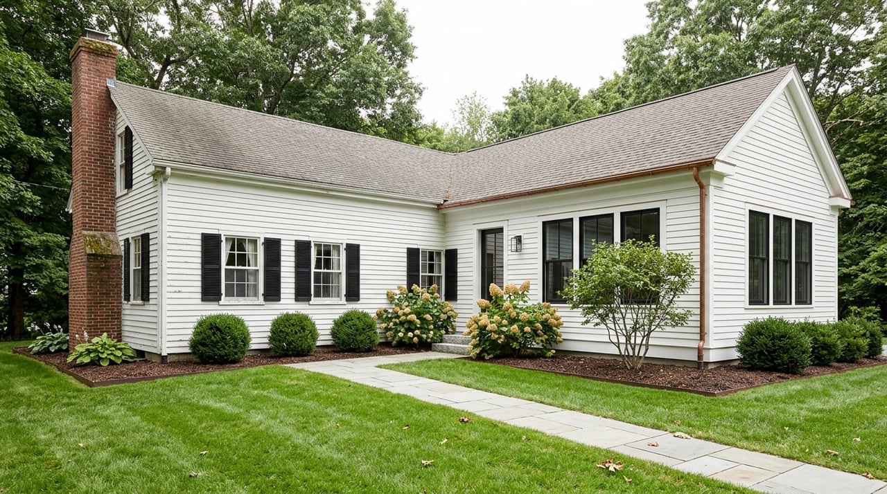
Who it fits: Buyers who want a short walk to the train, a lively but polished town center, and an easy daily routine. Housing includes classic colonials, townhomes, and some condos that pair well with a low‑maintenance lifestyle.
This central pocket balances rail and driving. You can reach Route 9 and I‑95/128 quickly, and the Wellesley Hills station is a modest walk or short drive depending on the street. The station lot is smaller, so many residents choose a mix of walking, drop‑offs, or occasional park‑and‑ride elsewhere. You are close to schools and Linden Square, which makes the weekday juggle more efficient. For station context, see Wellesley’s commuter rail overview.
Who it fits: Families who value central school access and flexible commuting options. Classic single‑family streets with ongoing renovations give you a traditional neighborhood feel.
If you prefer to drive to the train and park with less fuss, Wellesley Farms is a standout. The station offers one of the larger parking inventories in town, about 190 spaces, and provides direct service on the Worcester line. Many residents value the quick shot from neighborhood streets to the lot, which helps avoid some Route 9 surface traffic inside town. Parking counts and station details are outlined in the Wellesley station guide.
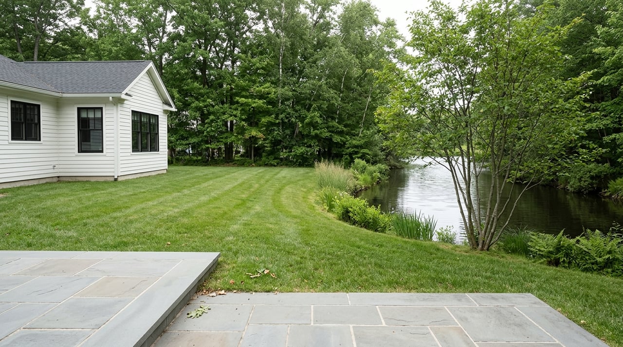
Who it fits: Buyers who want larger lots, a quieter residential setting, and an easy park‑and‑ride routine. Homes here often have more yard space and privacy, and you can reach town center amenities with a short drive.
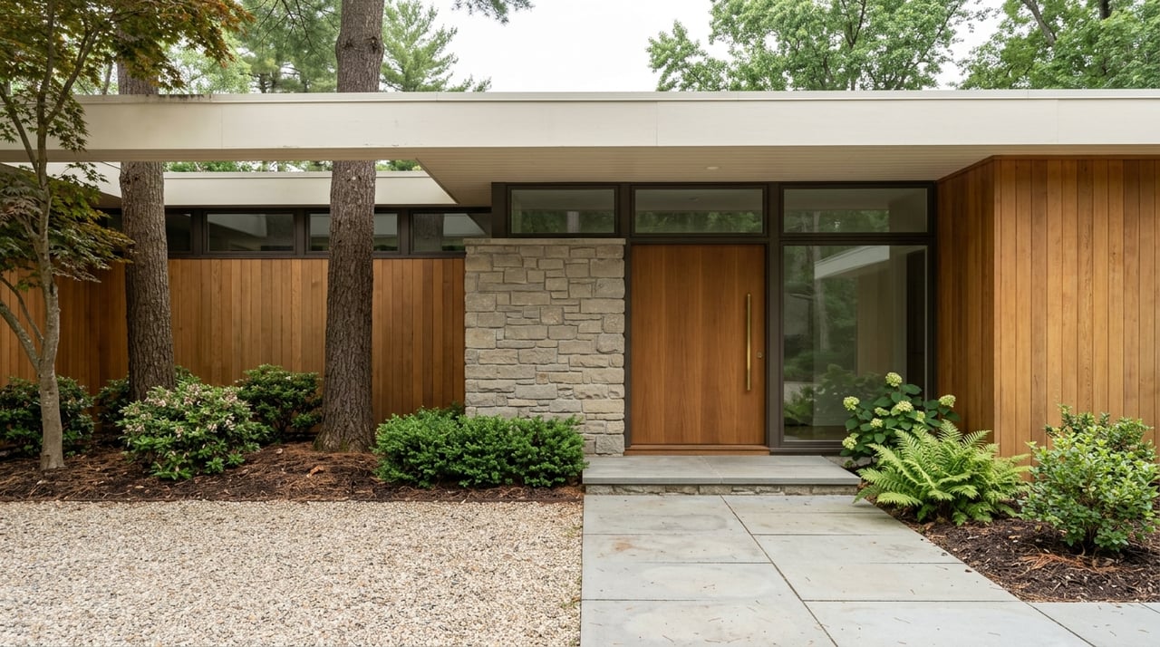
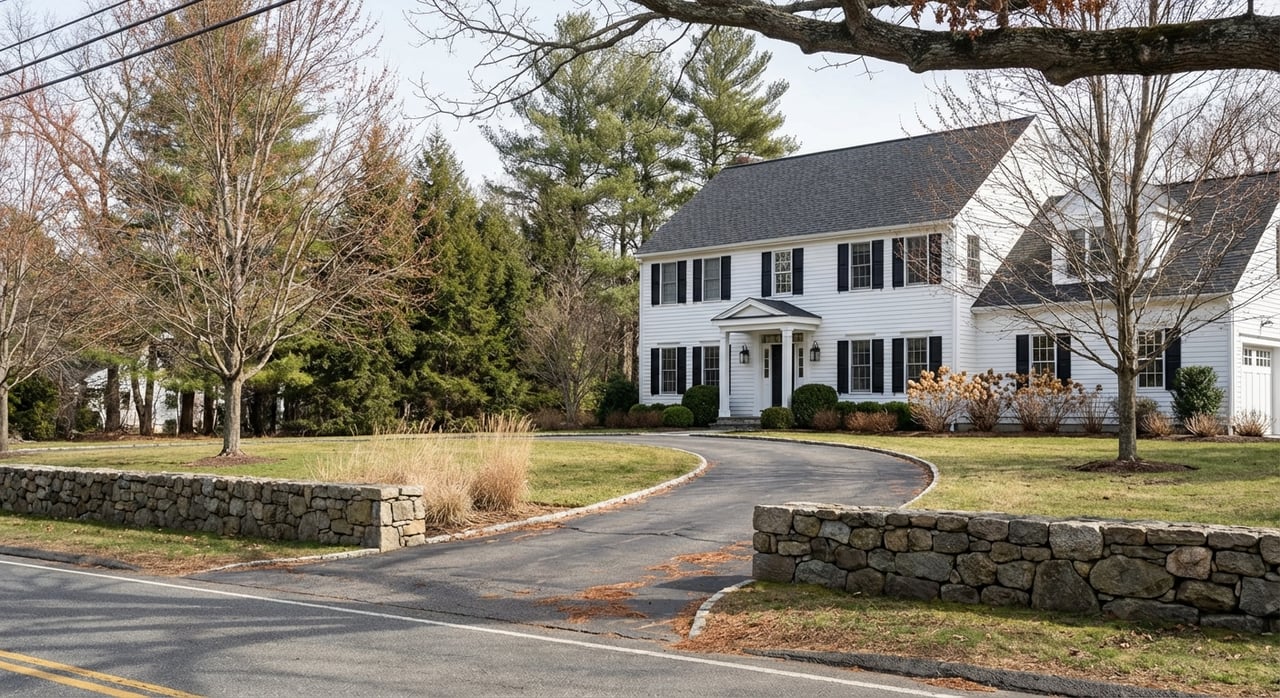
These higher‑end residential areas sit a short drive from Wellesley Hills or Wellesley Square stations, and offer ready access to Route 9 for car‑first commutes. Many residents choose to drive to a preferred station or drive directly into the city depending on the day’s schedule. The streets feel established and residential, with a mix of estate homes and recent renovations. For a neighborhood snapshot, see the Cliff Estates overview.
Who it fits: Buyers who prioritize space, privacy, and a short drive to either the rail or Route 9. You also sit near private school options around Dana Hall and town center conveniences.
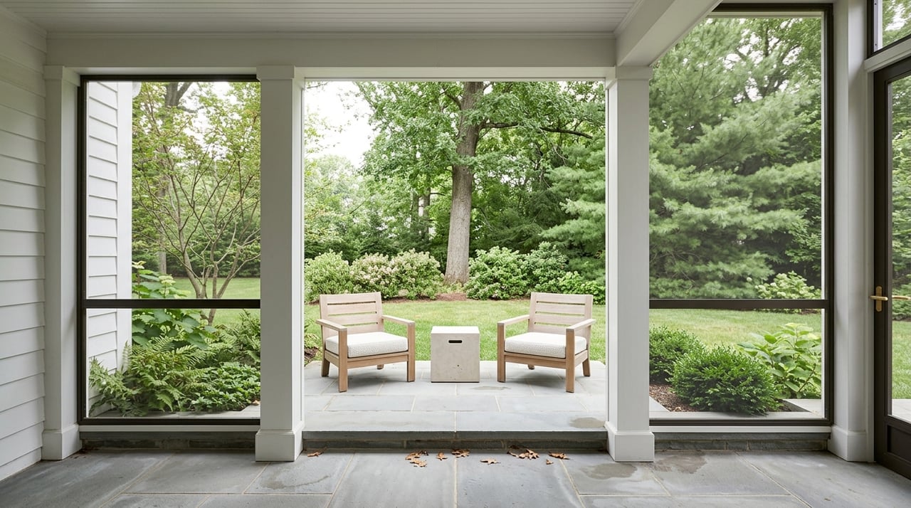
South and east of the center, this area offers a close‑knit neighborhood feel and a practical location for town institutions. Some streets are a walk to Wellesley Square station, while others favor a quick drive to the platform or to Route 9. Families appreciate recent investments in the local elementary facilities, including the new Hunnewell building outlined by Wellesley Public Schools.
Who it fits: Buyers who want a residential, community‑oriented setting with convenient access to schools and a mix of walk‑to‑train or short drive‑to‑train options.
Use this at‑a‑glance summary to speed up your shortlist.
Use this five‑step process to test neighborhoods that fit your commute and lifestyle.
Set your primary mode. Decide if you are rail‑first or car‑first most weeks. If rail matters, target streets within a 10 to 15 minute walk of Wellesley Square or a short drive to the Wellesley Farms lot. The Wellesley station guide can help you map options.
Do a live test at your time. Take the train and drive the route during your actual AM and PM windows. Track door‑to‑platform time, parking luck, and last‑mile segments downtown. Use the MBTA’s performance data tools to understand typical service patterns.
Confirm parking and permits. Read the Town’s rules for commuter lots and permit programs, then apply early if you need an all‑day option. Remember, a permit does not guarantee a specific space. Start with Parking Lots and Rates and the Town’s permit reminder.
Check school boundaries and data. If school assignment is part of your plan, verify boundaries by address and review district report resources from Wellesley Public Schools. Begin with the district’s assessment and report pages.
Build a timing buffer. Weather, incidents, and schedule changes can add time. Add a 20 to 30 percent cushion to your estimates and lean on MBTA real‑time tools for day‑to‑day planning using MBTA performance data.
When rail parking is tight or you need a different route, there are good backups. The Riverside Green Line D Branch and larger park‑and‑ride facilities in adjacent communities are commonly used options for some commuters. You will also find regional shuttles and local resources from the Town and nearby institutions that can help specific commutes. For a concise overview, see Wellesley’s page on Public Transportation and Parking.
If you want a simple walk to the train with the shortest platform time, Wellesley Square is your launch point. If you plan to drive to the platform most days, Wellesley Farms makes parking easier and keeps your routine predictable. For a balanced approach with quick highway access and a short drive or walk to the train, Wellesley Hills and adjacent areas work well. If you want larger lots and privacy yet still value access to Route 9 and the stations, Cliff Estates and parts of Hunnewell or Wellesley Farms will feel right.
A little testing goes a long way. Try your commute in each contender, then combine what you learn with your housing needs and school priorities. That is the surest way to pick a neighborhood you will love Monday through Friday and on the weekends too.
Looking for a tailored shortlist, off‑market options, or a guided commute test plan? Partner with Denise Mosher for a data‑driven, concierge search that fits your routine and your lifestyle.
Stay up to date on the latest real estate trends.